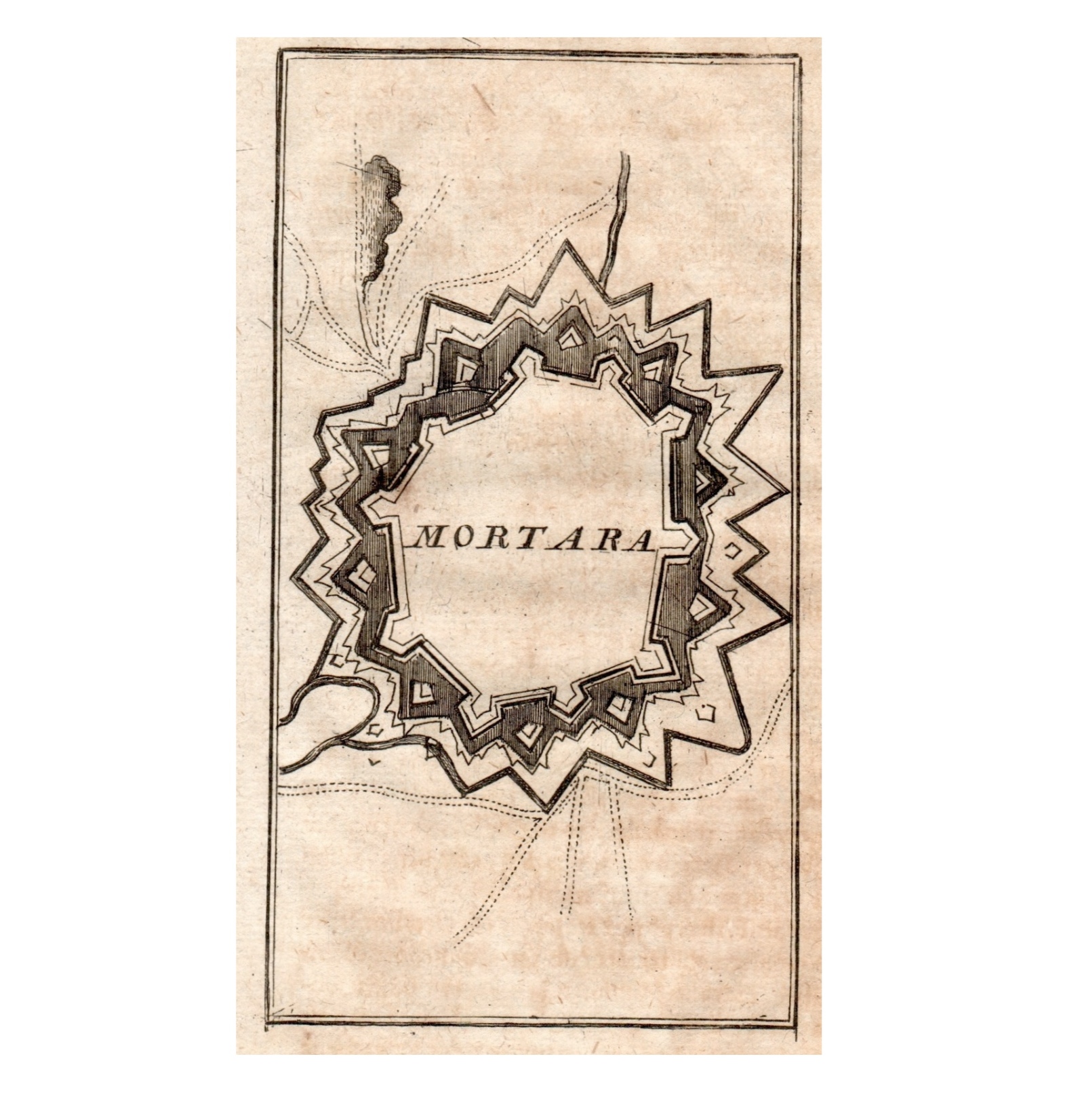
Interesting town plan of the walled city of Mortara from the rare Schauplatz des Krieges In Italien, Oder Accurate Beschreibung der Lombardey by Thomas Fritschen published in Leipzig in 1702.
Mortara
Interesting town plan of the walled city of Mortara from the rare Schauplatz des Krieges In Italien, Oder Accurate Beschreibung der Lombardey by Thomas Fritschen published in Leipzig in 1702.
- Author: Thomas Fritschen
- Year: 1702
- Dimension: 70 x 130 mm
- Place of publication: Lipsia
€ 90,00
Related products
-
Importante, rara ed ambita veduta di corso Zanardelli a Brescia con il Teatro Grande sulla sinistra. In basso doppio titolo in Italiano e Francese. Le famose “vedute ottiche” dei Remondini, eccezionale esempio di stampa popolare italiana, nascevano per essere inserite in appositi macchinari illuminati per potere ammirare luoghi lontani con un curioso effetto in tre dimensioni. [cod.1012/15]
- Author: REMONDINI
- Year: 1778
- Dimension: 320 x 420 mm
- Place of publication: Bassano del Grappa
-
[Switzerland] Carte generale des treze cantons de Suisse, Vallay ligues Grise, Maison-Dieu & Valteline
More Info € 450,00Rare copper engraved map of Switzerland. Showing Cantons and other independent regions, towns, villages, landmarks, forests, rivers and mountains. Relief shown pictorially. Includes decorative cartouches and compass rose. As in the title the map shows also the Valtellina, the beautiful valley in the Lombardy region of northern Italy, bordering Switzerland. From the rare Theatre geographique de France, contenant les cartes particulieres de ses provinces. Et celles de ses frontieres & pays adjacens published by Pierre-Jean…
- Author: Pierre-Jean Mariett, TASSIN Nicolas
- Year: 1653
- Dimension: 510 x 365 mm
- Place of publication: Paris
-
Out of stock
La vera et ultima discrettione dilla Lombardia et dal molti errori coreta in Venetia l’anno M.D.LXIIIII
More InfoRara e importante carta geografica della Lombardia pubblicata a Venezia come foglio sciolto da Ferrando Bertelli nel 1565. La mappa appartenente alla cosiddetta “scuola lafreriana” mostra in bel dettaglio la porzione di Italia settentrionale che si estende da Casale in Piemonte fino a Venezia e deriva dai modelli cartografici Gastaldiani ripresi precedentemente dal Luchini, dal Camocio e da Pietro de Nobili. Topograficamente, invece, riprende la carta in xilografia del 1520 intagliata da Luca Antonio de…
- :
- Year: 1565
- Dimension: 305 x 405 mm
- Place of publication: Venice
-
A rare and very decorative scene of the battle near Cassano. From “Repraesentatio belli, ob successionem in Regno Hispanico…”, published in Ausburg in 1720 by Jeremias Wolff. Inset in the beautifull cartouche a little map of the area.
- Author: DECKER Paul, Jeremias Wolff
- Year: 1720
- Dimension: 380 x 480 mm
- Place of publication: Augsburg


